Hanging Flume, Uravan, Colorado
Courtesy of Vertical Access Quarterly
By Kelly Streeter
The Flume
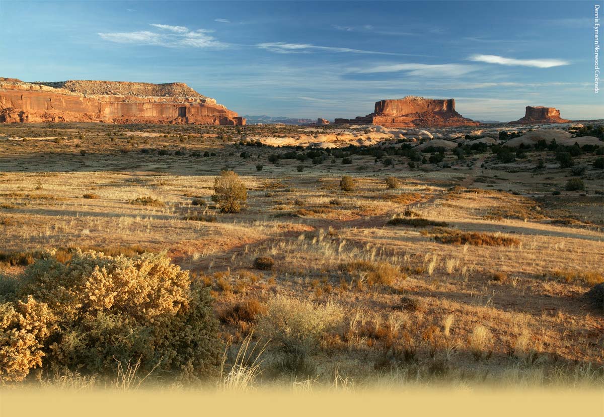
The cliffs of the Dolores River are the site of one of the longest historic structures in Colorado: the 13-mile long remnant of a hanging flume just north of Uravan, Colorado. Built over three years in the 1880’s, the flume carried water to the hydraulic mining operations of the Montrose Placer Mining Company. The water was used to provide hydraulic power to separate gold from alluvial rock deposits originating in the San Juan mountains, but after only three years, the mining operation was shut down. Now, more than 100 years after its construction, the flume is showing its age.
Listed on the National Register of Historic Places, what remains of the structure is a series of wooden brackets, suspended or braced by metal rods, inserted into holes drilled into the cliff face.
The Project
The State Historical Fund awarded a grant for the flume investigative effort to the Western Colorado Interpretive Association (WCIA), after a Historic Structure Assessment was completed in 2002. WCIA’s executive director Michelle Murphy selected Ron Anthony of Anthony & Associates to manage the project. Anthony, a wood scientist from Fort Collins, CO, believes the technical questions about the flume’s construction methods will be best answered with careful research and investigation. Additionally, the project team delved into the construction camps, trails and supply drop-off points associated with its construction. “Construction of the Hanging Flume in the 1880s was accomplished in a time and place that we can barely imagine,” Anthony says, “It would be selfish and irresponsible to allow these construction, engineering and human achievements to vanish without doing our best to make them available for future generations.”
The near-term goal of the grant is to document and understand the construction details of the remaining components of the flume. Ultimately, this may allow this unique artifact to be preserved for public education and historic interpretation . Long-term objectives remain undecided, however. Jill Seyfarth, a cultural resource planner, will finish a master plan early next year, recommending the best plan for public interpretation for the flume. Options that have been discussed include preserving what is left of the structure, reconstruction of segments of the flume using historic techniques, creating a scaled replica, and adding interpretive signs along nearby roads and mountain bike trails. Regardless of its fate, the flume could provide a welcome tourism draw to the region.
The new widespread interest in the structure doesn’t tell the whole story. For years, locals here have collected information, photographs, and details about the structure — a very important research tool to Ron Anthony. “Many locals know a lot about the flume and we hope they get in touch with us,” he said. “We would also like to hear about what people think about the project, whether they thing it’s a waste of time of if they’re supportive.”
The Project Team
The project team for the hanging flume project is large and multi-disciplined:
| Alpine Archeological Consultants, Inc. | Jon HornJack PfertshDavid GuilfoyleJuliana Vivona |
| Anthony & Associates, Inc. | Ron AnthonyDeb Anthony |
| Bureau of Land Management | Julie Coleman |
| Colorado Preservation , Inc. | Pat Holcomb |
| Colorado Center for Community Development | Jon Schler |
| Cultural Resource Planning | Jill Seyfarth |
| Jerald Reid | Jerald Reid |
| State Historical Fund | Jim JoyJennifer CookTom CarrAlyson McGee |
| Robert Silman Associates, P.C | Justin SpiveyHelena Meryman |
| Vertical Access, LLC | Kent DieboltMike GilbertDonn HewesJon Reis |
| Western Colorado Interpretive Association | Michelle Murphy |
| Photographer Tyler Young | Tyler Young |
Funding Contributors:
1. Colorado Historical Society
2. State Historical Fund
3. Bureau of Land Management
4. Unaweep Tabeguache Scenic Byway Council
5. Bacon Foundation
6. National Trust for Historic Preservation
7. San Miguel County
8. Montrose West Recreation
9. John Hendricks
10. John Bratton, Gateway Construction
The Site Work
Vertical Access technicians Donn Hewes, Mike Gilbert, Tom Zajicek and Kent Diebolt accompanied the team on site during the week of 26 April, 2004, to document the remnants of the flume. Structural engineers Justin Spivey and Helena Meryman (of Robert Silman Associates, P.C.) joined VA on ropes to complete the inspection. As on-line VA technicians surveyed the brackets with a video camera, an engineer at a monitor on the cliffs several hundred feet above the flume noted measurements and dictated observations. On Tuesday morning alone, three different types of truss or bracket configurations were identified and documented!
The flume is located in a sparsely populated area of Western Colorado: “50 miles from anywhere you want to be” says Sandy’s Cafe owner Sandy Pottorff. The extreme isolation of the site made it a unique project for Vertical Access, who’s technicians are accustomed to urban work sites, where they go to a deli for lunch and can communicate via cell phones. This time, they stayed 20 miles away in Naturita, CO. Lunch, snacks and water were packed and ferried to the site daily. A battery-operated monitor was used for the live-feed video. This project, more than any other, had high-value logistics. If a battery was left behind, or a cooler was forgotten, an entire day could be wasted rectifying the situation. Lack of cellular phone signal necessitated renting a satellite phone in case of an emergency.
Safety was a great concern given the site’s remote location. VA has always operated with a rescue plan that connects the casualty to an ambulance. With the nearest emergency services several hours away, VA enlisted Donn Hewes, a Cortland, NY firefighter and occasional VA technician, as on-site EMT.
Without a doubt, this will prove to be one of the most interesting and out-of-the-ordinary projects Vertical Access has ever worked on. Mike Gilbert quipped that “it’s more interesting than the Chrysler Building.”, and that’s saying a lot!
The Photographer
Ithaca based photographer Jon Reis of Jon Reis Photo + Design has been working for architects, engineers, historic preservationists, and commercial developers for twenty-five years shooting from airplanes, helicopters, and the roofs of skyscrapers.
The trip to Uravan, Co to photograph Vertical Access on the Hanging Flume was one of the most challenging jobs he faced in his eight years doing publicity photographs for Vertical-Access on historic and unusual structures. Many of the rope drops were a great distance from good vantage points and Reis needed to utilize long and fast 600mm and 1200mm lenses to get close-ups of the team at work.
For more information, see Jon’s website at www.jonreis.com